

Connecting Health Outcomes Research and Data Systems (CHORDS)
This example highlights the use of pharmaceutical data, a data source that can be used to conduct timely health investigations. Prescription data were obtained from the British Columbia Ministry of Health’s PharmaNet database which is a system that captures prescription information in real-time.
Summary:
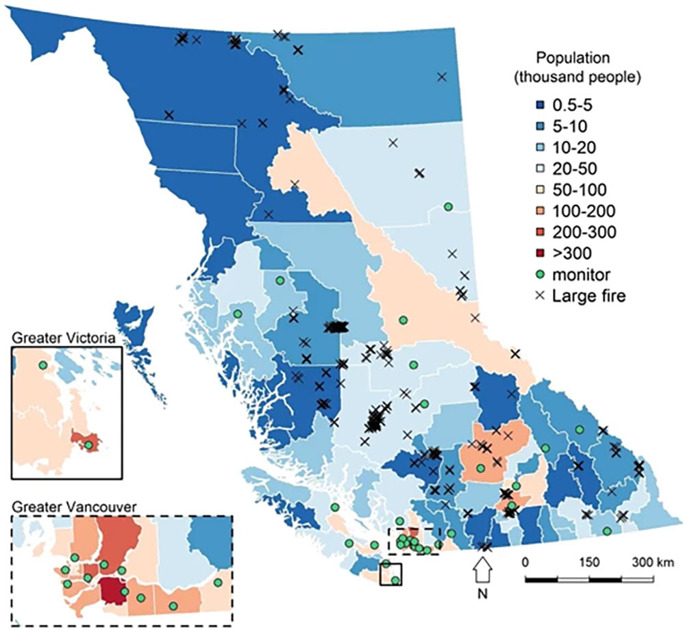
Yao et al. (2016) estimated the effects of wildfire smoke-related PM2.5 on counts of respiratory-related medication dispensations and cardiorespiratory outpatient physician visits. Information on medication dispensations and physician visits were obtained from the BC PharmaNet database and Medical Services Plan billings database. PM2.5 was measured and modeled using data from the BC Ministry of Environment Air Monitoring Network, along with NASA MODIS satellite imagery and NOAA Hazard Mapping System to determine extreme fire days and hot spots.
| Exposure Data | Health Data |
|---|---|
| British Columbia Ministry of Environment Air Monitoring Network | British Columbia PharmaNet database |
| NASA MODIS satellite imagery | British Columbia Medical Services billings database |
| NOAA Hazard Mapping System |
Supporting Publication:
Evaluation of a Spatially Resolved Forest Fire Smoke Model for Population-Based Epidemiologic Exposure Assessment
Yao J, Eyamie J, Henderson SB. Evaluation of a spatially resolved forest fire smoke model for population-based epidemiologic exposure assessment. J Expo Sci Environ Epidemiol. 2016 May-Jun;26(3):233-40. Doi: 10.1038/jes.2014.67. Epub 2014 Oct 8. PMID: 25294305; PMCID: PMC4835685. [Abstract]